How Did Disneyland End Up in Anaheim?
On this day in 1953, a final report titled “An Analysis of Location Factors for Disneyland” was delivered to Walt Disney by consultants at Stanford Research Institute (SRI). The analysis in the report lead to the selection of the “Ball Road subdivision” in Anaheim as the preferred location for Disneyland.
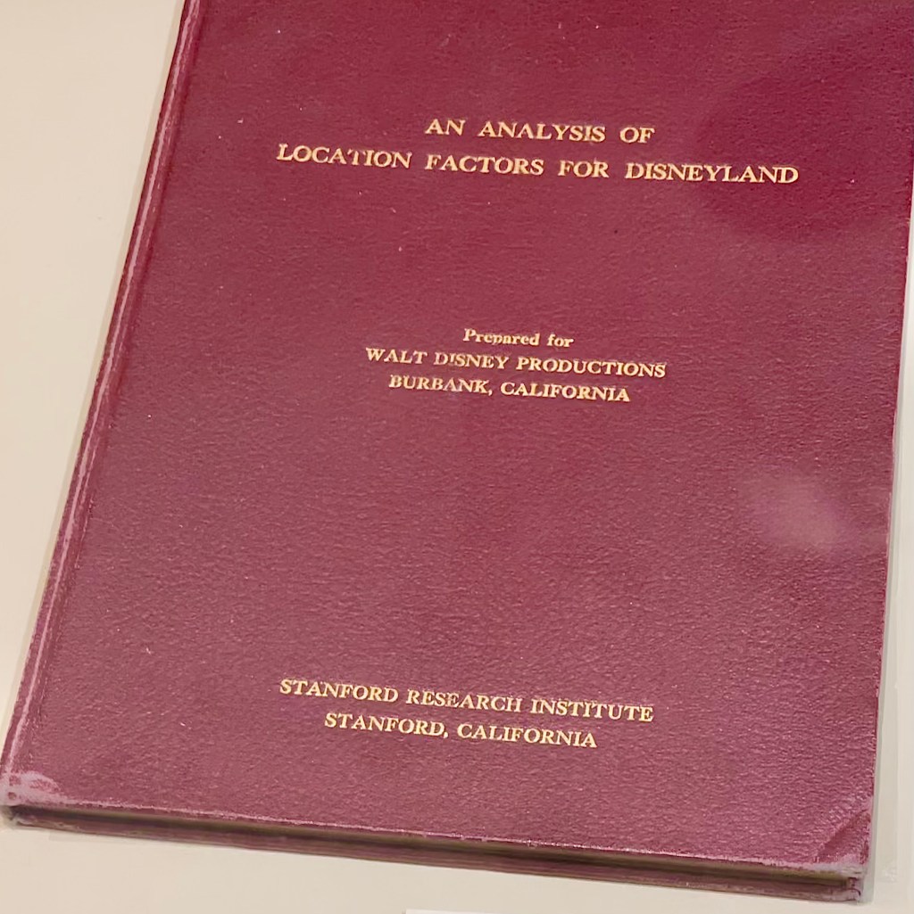
Walt hired SRI after hearing about them early in the summer of 1953 from his friend and famed architect, Charles Luckman. Luckman’s firm was initially going to design Disneyland, but Walt ultimately decided to have studio artists (and future Imagineers) do the work instead. Walt’s small team working on early Disneyland designs at the time was tasked to reach out to Harrison “Buzz” Price at SRI about the project. After their initial discussion, Buzz wrote up two proposals – one on the site location and one on economic planning. The contract called for 12 weeks of work and a budget of $25,000 – a significant fee in 1953.
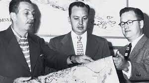
Roy Disney, who was the financial side of the Disney brothers company, was weary of Walt’s park project from the beginning. Having outside experts consulting on the project was welcomed by Roy. The Disney brothers gave SRI a snapshot of what they were looking for – the park needed around 160 acres and it needed to be acquired pretty quickly in order to open to the public in 1955. According to early Disneyland planner Dick Irvine, Dick Irvine, Walt ruled out any locations along the coast because he “didn’t want it to have the context of a beach attraction. Like a pier.” Buzz asked Walt “Do you have any bias, any opinion, on where it should go in Southern California? The study area you are talking about is big. The greater Los Angeles five county areas is at least 4,000 square miles.” Walt’s response, “No, you tell me.”
The SRI team, according to Buzz, “attacked all the variables which would determine an optimum location the five county study areas (L.A., Orange, Ventura, Riverside, San Bernardino). We calculated the centers of gravity of the resident population and hotel rooms serving the tourist population.” The most central location to the existing population was the rail yard in downtown L.A. But land prices ruled out anything around downtown. The report also considered factors including average rainfall and temperatures.
The final report, produced on August 28, 1953, pointed to what SRI dubbed “the amoeba” (because of its unusual shape) which was a 150 square mile area spread out five miles on both sides of the planned Santa Ana Freeway from the L.A. County line to the city of Santa Ana. The report then ranked the various 160-acre sites within the “amoeba” that happened to be available at the time. According to Buzz, “Walt and Roy agreed with our approach and went after the first choice site, an orange grove at the intersection of the Santa Ana Freeway and Harbor Boulevard.” The so-called “Ball Road subdivision” and actual properties purchased would be slightly altered through the acquisition process, but this location generally became Disneyland’s home. In his book “Walt’s Revolution! By the Numbers,” Buzz points out “Twelve years later we would measure the center of gravity of the population in the southern eight counties to be a point southwest of Fullerton, within four miles of the park.”
What were some of the other sites ranked in the report? The second ranked site was in Buena Park, the third in Los Alamitos, and the fourth, the Willowick Country Club in Santa Ana.
